
Day Trips
Hocking Hills Scenic Byway: A Drive on SR 374
On this page
The Hocking Hills scenic byway is about 26 miles of winding road, mostly State Route 374, that links every section of Hocking Hills State Park, from Cantwell Cliffs in the north to Ash Cave in the south. It became an Ohio Scenic Byway in 2004 and a National Scenic Byway in 2021. Drive it straight through for the views, or make a day of it and stop at each trailhead.
The south end is close to us: Ash Cave is 10 minutes from our cabin.
The route
The byway follows State Route 374 for most of its length, with short stretches on State Routes 664 and 56. The north end is at US 33 in Rockbridge, and the south end meets State Route 56 east of South Bloomingville.
| Detail | The byway |
|---|---|
| Length | About 26 miles (Ohio Magazine lists 26.4) |
| Main road | State Route 374, plus parts of 664 and 56 |
| North end | US 33 at Rockbridge |
| South end | State Route 56, east of South Bloomingville |
| Designations | Ohio Scenic Byway (2004), National Scenic Byway (2021) |
The whole of State Route 374, 25.26 miles, is part of the byway, and the road dates to 1932. Hocking County also maintains a Big Pine Road loop that the byway plan counts as an extension.
Stops along the Hocking Hills scenic byway
Listed roughly north to south, the way the National Scenic Byway Foundation lists them:
| Stop | What's there | Dogs |
|---|---|---|
| Cantwell Cliffs | A rugged rim and gorge loop, rated difficult | Leashed |
| Rock House | The park's only true cave, a corridor with seven openings | Leashed |
| Conkle's Hollow | A gorge with cliffs nearly 200 feet high | No pets |
| John Glenn Astronomy Park | A dark-sky site with evening programs | Check first |
| Old Man's Cave | The visitor center and the park's most popular trail | Leashed |
| Cedar Falls | The biggest waterfall in the area by volume | Leashed |
| Ash Cave | Ohio's largest recess cave, on a paved trail | Leashed |
For trail details, see our guides to the Hocking Hills caves and Conkle's Hollow, Hocking Hills.
The byway also passes Hocking State Forest, including its 99-acre rock climbing and rappelling area on Big Pine Road, about a mile east of Conkle's Hollow. Rose Lake, the park's spot for fishing in Hocking Hills, is along the route too.
Driving tips
The road is known for its curves. Ohio DOT's byway plan calls out its "dangerous twists and turns," and many scenic spots have no safe pull-off because the land beside the road is private.
- Stop only in the park lots, never on the shoulder.
- Watch for hikers crossing near the trailheads, especially on fall weekends.
- Cell signal drops in the valleys, so download a map before you leave.
When to drive it
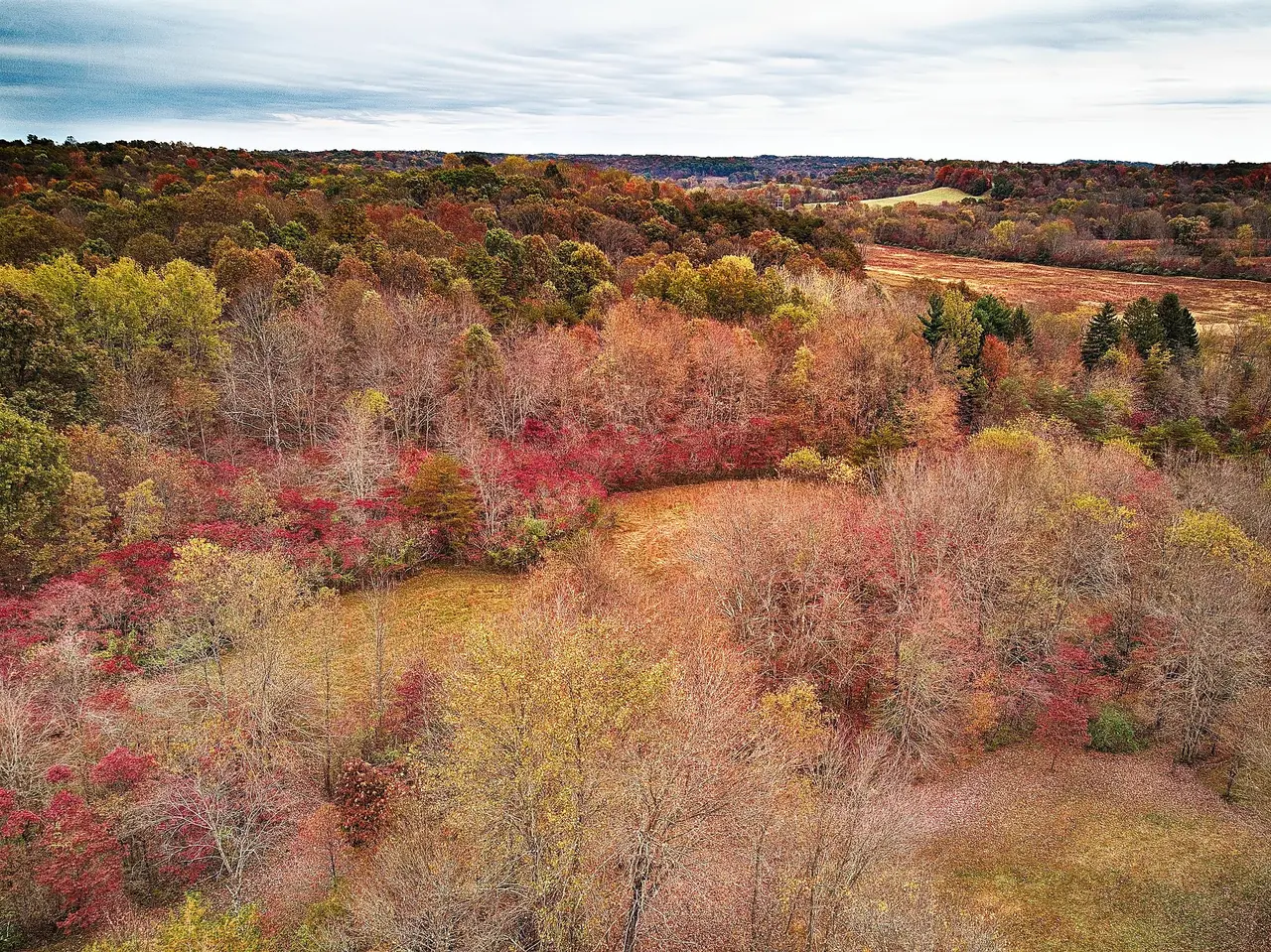
Late October is the showpiece, when the Hocking Hills fall colors usually peak along the ridges. Go on a weekday if you can, since October weekends are the busiest of the year.
Spring brings waterfalls at the Cedar Falls and Old Man's Cave stops. Winter is quiet, but watch for ice on the curves and on the trails.
Our pick for a byway day
For the classic Hocking Hills scenic byway day, start at the north end in the morning with Cantwell Cliffs and Rock House. Drive south past Conkle's Hollow to Old Man's Cave for lunch at the state park lodge, then finish at Cedar Falls and Ash Cave.
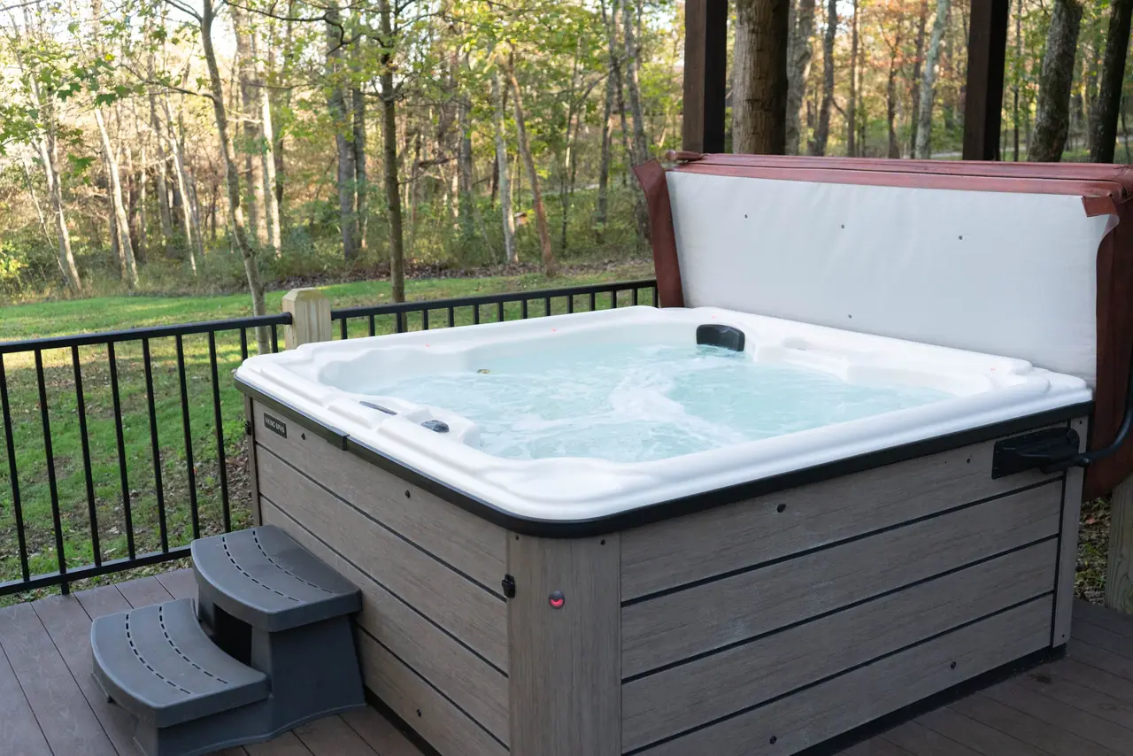
Ash Cave is 10 minutes from our door, so the byway ends right by our Hocking Hills cabin with hot tub. For the rest of the region, see our guide to things to do in Hocking Hills and our ranking of the best Hocking Hills hikes.
Hocking Hills Scenic Byway FAQs
How long is the byway?
The Hocking Hills scenic byway is about 26 miles long: the National Scenic Byway Foundation lists 26 miles, and Ohio Magazine lists 26.4. Most of it follows State Route 374, with short stretches on State Routes 664 and 56. Driving it with stops at the main trails takes a full day.
Where does the byway start?
The Hocking Hills scenic byway starts at US 33 in Rockbridge, at the north end of State Route 374. It runs south past Cantwell Cliffs, Rock House, Conkle's Hollow, Old Man's Cave and Cedar Falls, and the south end meets State Route 56 east of South Bloomingville, near Ash Cave.
Is it a National Scenic Byway?
Yes, the byway was named a National Scenic Byway in 2021, according to the National Scenic Byway Foundation. Ohio designated it as a state scenic byway in May 2004. It passes every section of Hocking Hills State Park, which is why it's the main road for a park day.
Are there places to pull over along the way?
There are few safe places to pull over on the byway outside the park lots. Ohio DOT's byway plan notes that many scenic spots have no safe pull-off and much of the roadside is private land. Use the parking areas at each trailhead, and never stop on the shoulder of a curve.
About the authors
Our storyRelated reading

Your stay
Make Serenity Lodge your base camp.
From $300 a night for up to 9 guests. Book direct and save about 13%.